Monday, February 28, 2022
MEMORIES OF THE FIFTIES
-------oOo-------
Reader Contributions . . .
-------oOo-------
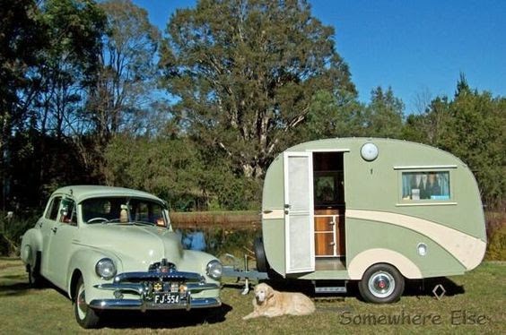
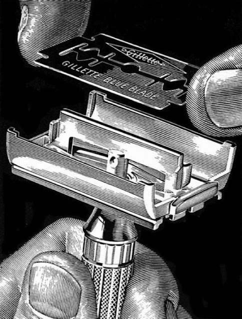
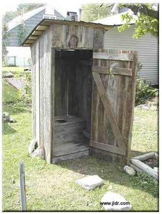
Byter, friend and colleague Vince C sent me the following collection of pics headed Memories of the Fifties.
Some of the items are American, for instance, we did not have BB guns (although as kids we did have what we called air rifles, more commonly called slug guns in that the lead pellets they fired were known as "slugs"), and some pics appear to be Brit in origin, but most are Oz based.
Also, I believe some are from the 60s, although I could be wrong.
At any rate, a lot of memories . . .
Thanks, Vince.
-------oOo-------
Sunday, February 27, 2022
SYDNEY SUBURBS
CROYDON
This suburb is a favourite on the list, being next to Ashfield, the suburb in which my office has been located for 37 years and the suburb where I once lived.
Location:
Croydon is a suburb approximately 10 kilometres from central Sydney. It is situated between two highways (Parramatta Road and Liverpool Road), it is bisected by the railway and railway station, and it lies between the retail and commercial centres of Ashfield and Burwood.
Name origin:
After the English town. This name was decided upon in 1878. At this time there was a racecourse near Homebush (two miles from Croydon), and Croydon was so named, as there was a racecourse near the English town.
History:
With the establishment of a penal colony in Sydney in 1788, small settlement was established at Rose Hill (later known as Parramatta) in 1788. Initially traffic between Sydney and Parramatta was by water, but a rough track soon developed. By 1791 this track followed a similar route to the modern Parramatta Road, skirting the swamps on the southern edges of Iron Cove and Hen and Chicken Bay. A map drawn by William Dawes in 1791 is the first written record of the area known as Croydon. His map was annotated with the comment that it was 'a tract of good land to appearance in many places hereabout'.
By 1793 a stockade had been established halfway between Sydney and Parramatta, near the current site of St Luke's Oval (on the northern side of Parramatta Road), as an overnight resting place for the convict working parties. In October of that year, Governor Grose sent workmen and convicts there to form a timber yard. Soon 60 acres (25 hectares) had been cleared of timber and by 1821 what had become known as the Longbottom Government Farm extended over 700 acres (283 hectares) of land, covering much of modern Concord.
Governor Phillip showed great reluctance to grant large amounts of land to his colonists, restricting land grants to the towns and people actively planning to farm the land. After his return to England in 1792, acting governor Major Francis Grose and his successor Captain William Paterson pursued the opposite policy granting large swathes of land to their friends prior to the arrival of the second official governor John Hunter in 1795.
The first land grant in the Croydon area was to Captain John Townson in April 1793 who received 100 acres (0.4 km2) on Parramatta Road stretching west from Iron Cove Creek and south to what is now Queen Street. Further grants were made in 1794 to:
Private J Eades (25 acres on Parramatta Road to the west of Townson's holding);
James Brackenrig (30 acres on the other side of Eades's land);
Augustus Alt, the first surveyor-general of NSW, (100 acres stretching south from Townson's land to roughly what is now Thomas Street); and
Sarah Nelson (15 acres west of the southern corner of Alt's land in the area now known as Malvern Hill).
Alt was the first to take up residence on his land, naming it 'Hermitage Farm'. However, his house was burnt down by a group of indigenous people (possibly led by Pemulwuy) in 1797 and he didn't return to Croydon, establishing himself in neighbouring Ashfield, and selling his property to John Palmer.
(Pemulwuy (c. 1750 – 2 June 1802) was an Aboriginal Australian of Eora descent, born around 1750 in the area of Botany Bay in New South Wales. He is noted for his resistance to the European colonization of Australia which began with the arrival of the First Fleet in January 1788.)
By 1820 a large part of the area had been subsumed by Joseph Underwood's large 'Ashfield Park Estate'. This property remained largely intact for more than 40 years, until it was subdivided into large blocks after the death of Elizabeth Underwood in 1858.
One of these subdivisions was the 'Highbury Estate', on part of which Anthony Hordern, son of the founder of the great retail firm, Anthony Hordern & Sons, eventually built his house 'Shubra Hall', just beyond the west border of Ashfield. It later became part of the Presbyterian Ladies' College, the current boundaries of which give an idea of the extent of the Hordern property. The College, including Shubra Hall, the main school building and the Meta Street entrance gates, is now listed on the Register of the National Estate.
Anthony Hordern
Shubra Hall
Shubra Hall and the Main School Building and students of the Presbyterian Ladies' College in Croydon, 1892.
From around 1800 to 1860, development in the area was slow with the forests gradually being cleared for orchards and grazing land. The area was a haunt of bushrangers in the 1820s with two major thoroughfares, Parramatta Road to the north and Liverpool Road to the south providing regular opportunities for holdups.
In 1855, the Sydney-Parramatta railway was built through the area which led to a housing boom around the stations at Ashfield and Burwood. This in turn led to local governments forming in the two areas with the land divided roughly equidistant between the two centres.
In 1874 a new station was built on the boundary of the two areas and was named Five Dock after another settlement to the north. Because Five Dock was actually a long way north some confusion ensued and Ashfield Council renamed the station in 1876 to Croydon after the suburb in London.
The suburb remains divided between the two neighbouring councils to this day.
The Strand, Croydon – the part within Burwood Council.
Another view of The Strand,
Looking from the Railway Station to the Burwood Council side.
The Strand at night
The Inner West Council side of the commercial area of Croydon: Edwin Street
Some heritage listed sites:
Croydon Railway Station
The Croydon Sewer Vent.
Yes, it is heritage-listed, a sewer ventilation stack located on a small parcel of land in Paisley Road, Croydon.
Some other notable items:
Croydon Post Office / Chemist
St Christophorus Catholic Church
St Gabriel Orthodox Church
A house on Badminton Road, Croydon.
Croydon Community Hall
Some pics from the past (yes, I know that all pics are of the past, even if taken only one second ago):
Sales plan for land in the suburb of Croydon, including the boundaries of Anthony Hordern's estate, 1881
Malvern Avenue, Croydon, early 1900s
Presbyterian Ladies' College, Croydon 1930s
Croydon Railway Station 1880
Subscribe to:
Comments (Atom)


